Survey & Inspection (DSI)
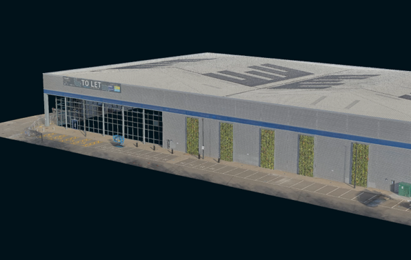
TEXO has extensive experience working for several clients in the measured building sector. Using the latest in 3D capture technology including terrestrial laser scanners and UAS photogrammetry, TEXO can accurately capture the as-built environments for a variety of end-use cases including planning, area calculations, and facility management.
SOLUTION
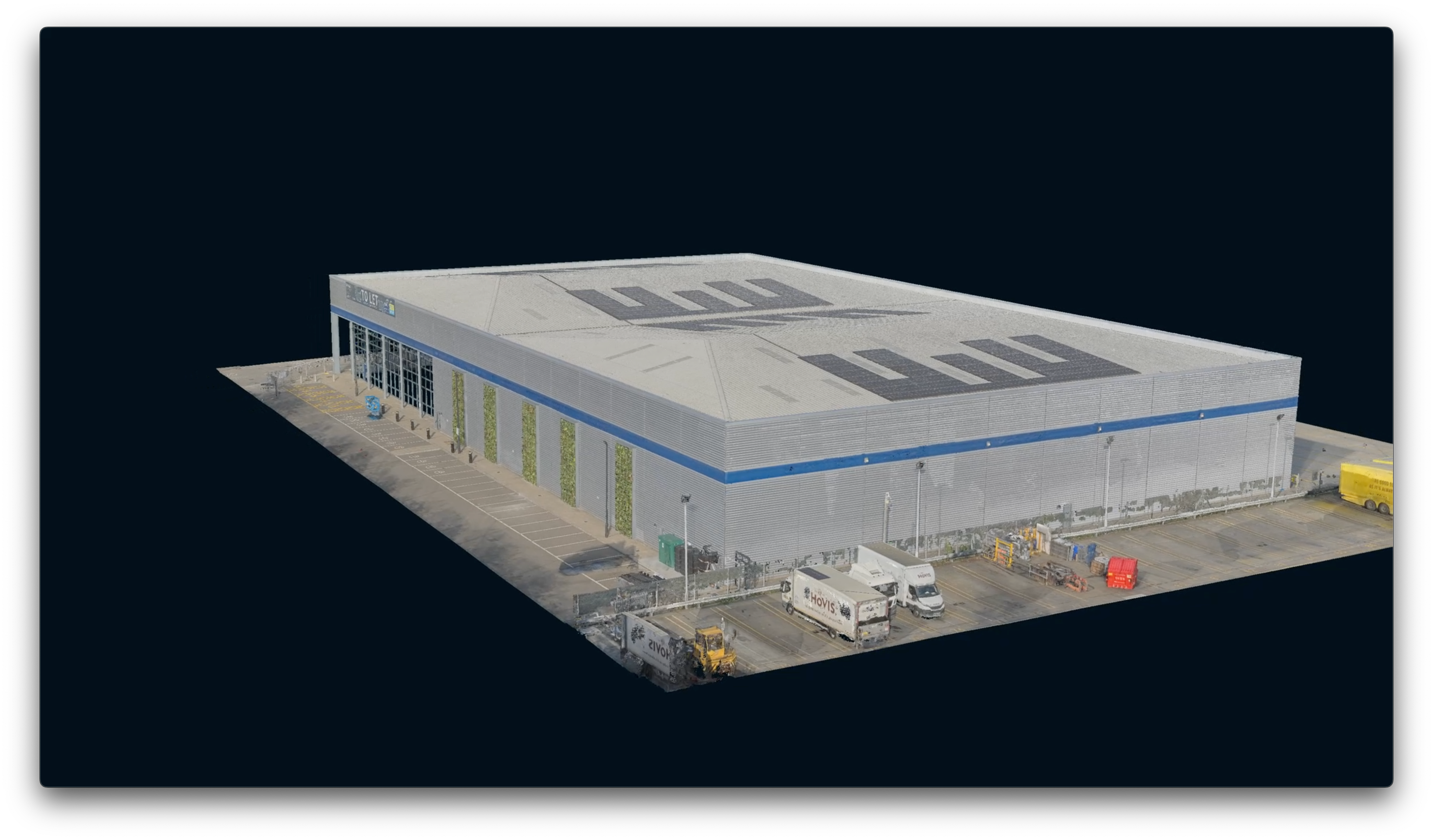
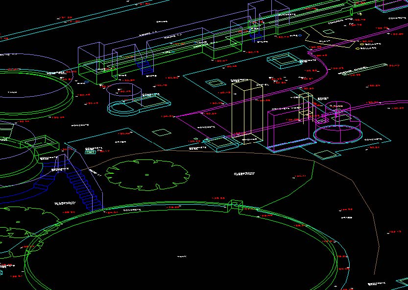
Control Establishment and 3D Laser Scanning
TEXO established permanent control on site to OS (National Grid coordinate system) and datum. Using TEXO’s Leica RTC360, high-detail scans were collected quickly and efficiently on-site. 150 scan positions observed at necessary locations for feature collection were performed in a single day’s capture. This helped minimise time on site and disruption to stakeholders whilst also keeping the survey cost-efficient for the client.
UAV Photogrammetry
Whilst scanning using a terrestrial system was necessary, some features on the external facades and roof were obscured due to access and site limitations. TEXO utilised their specific CAA permissions to photogrammetrically capture facade and roof imagery. The photogrammetric point cloud was combined with the terrestrial point cloud data using up to 100 tie points from each dataset producing a photo-realistic textured 3D Point cloud with an accuracy of +/-5mm suitable for engineering and CAD modelling.
CAD Plans (Topo / MBS)
Using the highly detailed point cloud, our in-house CAD team was able to generate engineering-grade floorplans that identified structural elements, finishes, and key dimensions. External elevations of the unit were also provided. All CAD sections and floorplans were exported in 2D CAD format. Plans were also replicated in PDF format.