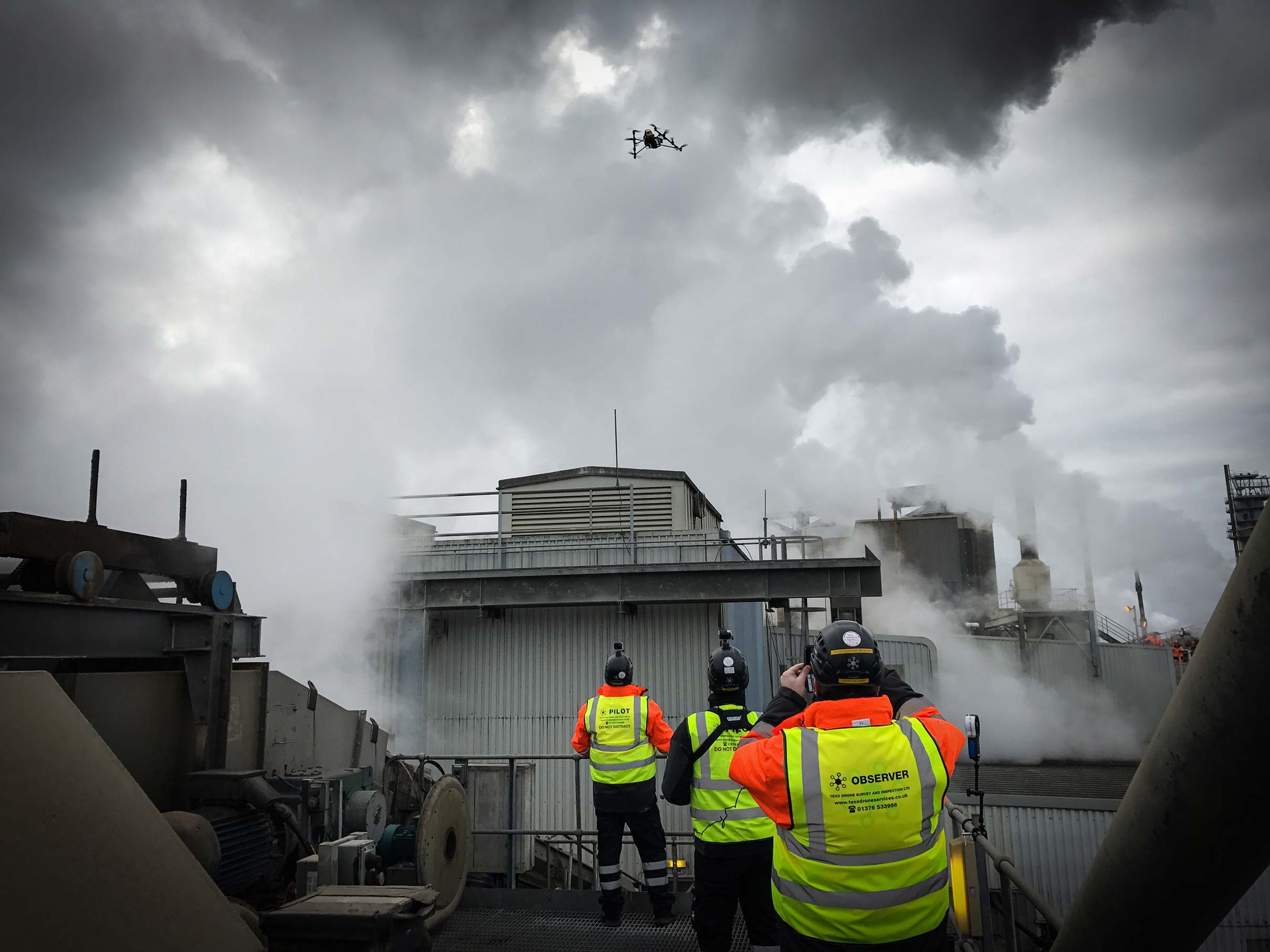
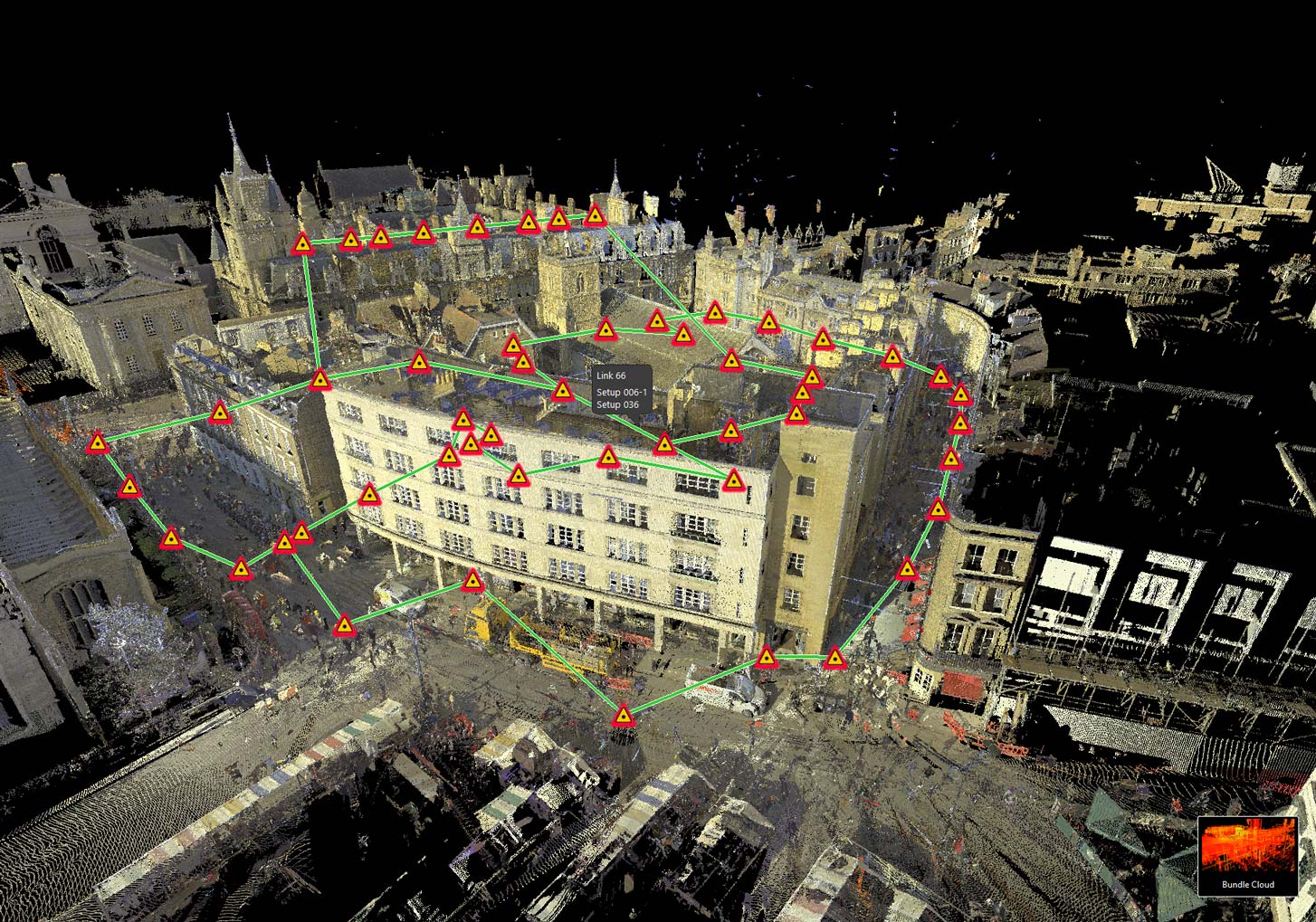
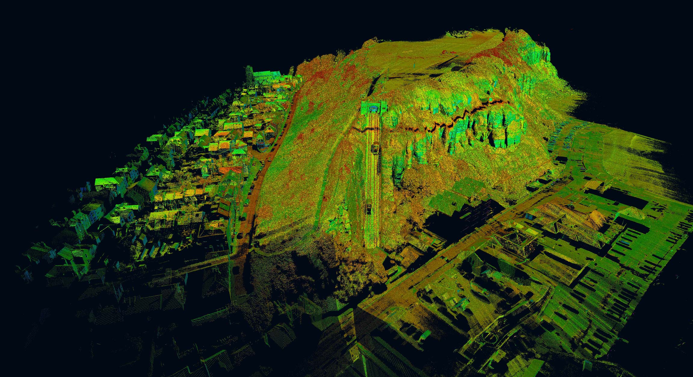
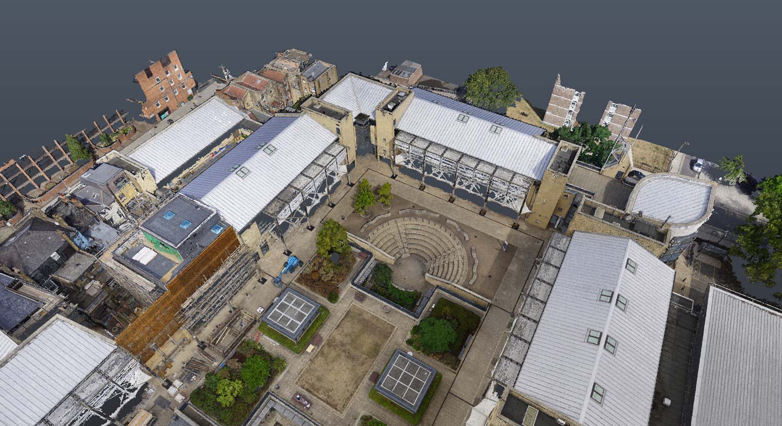
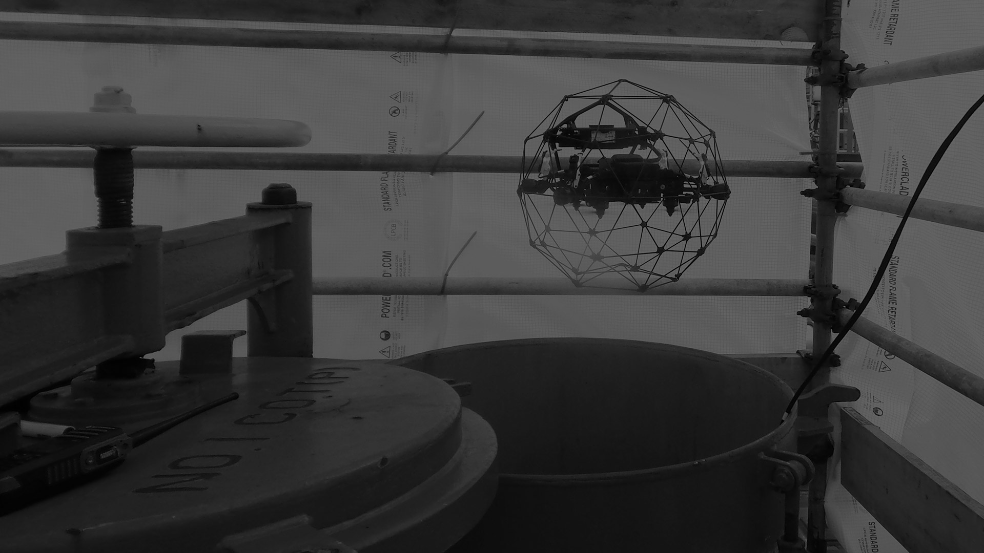
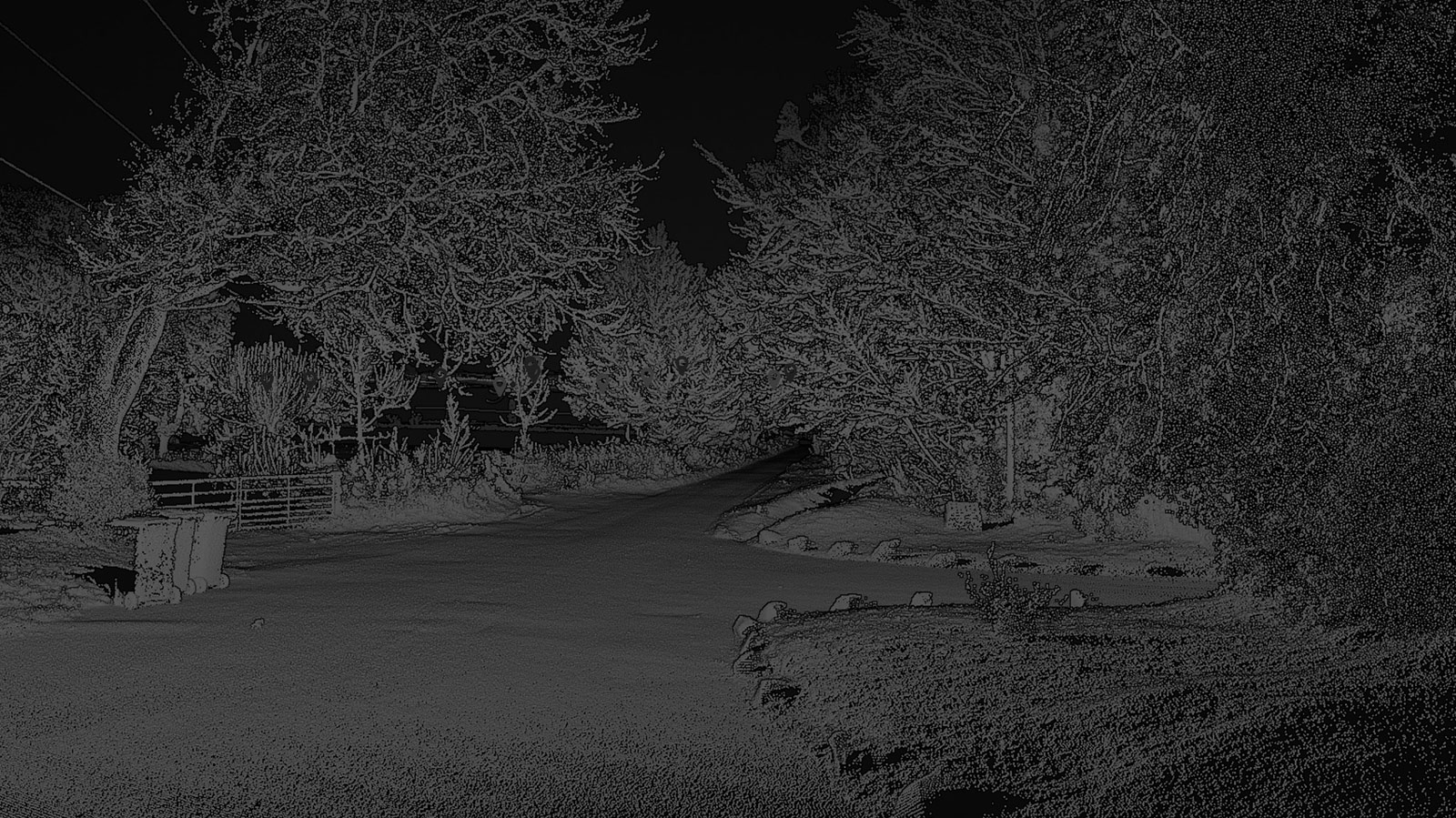
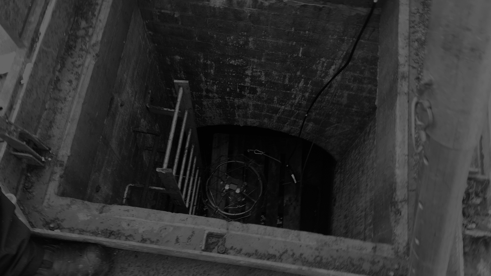
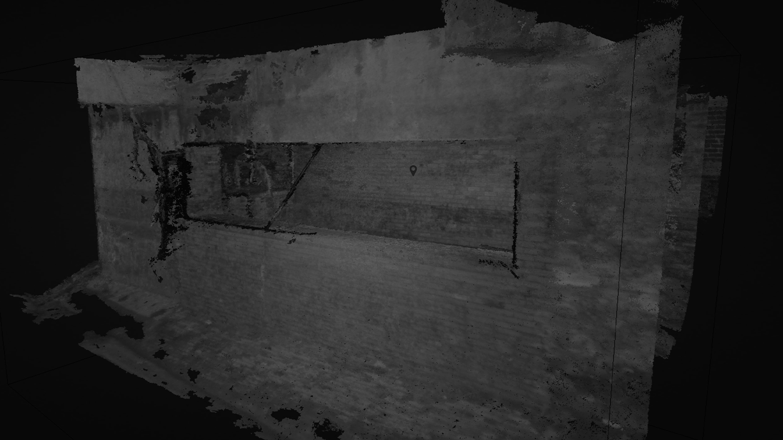
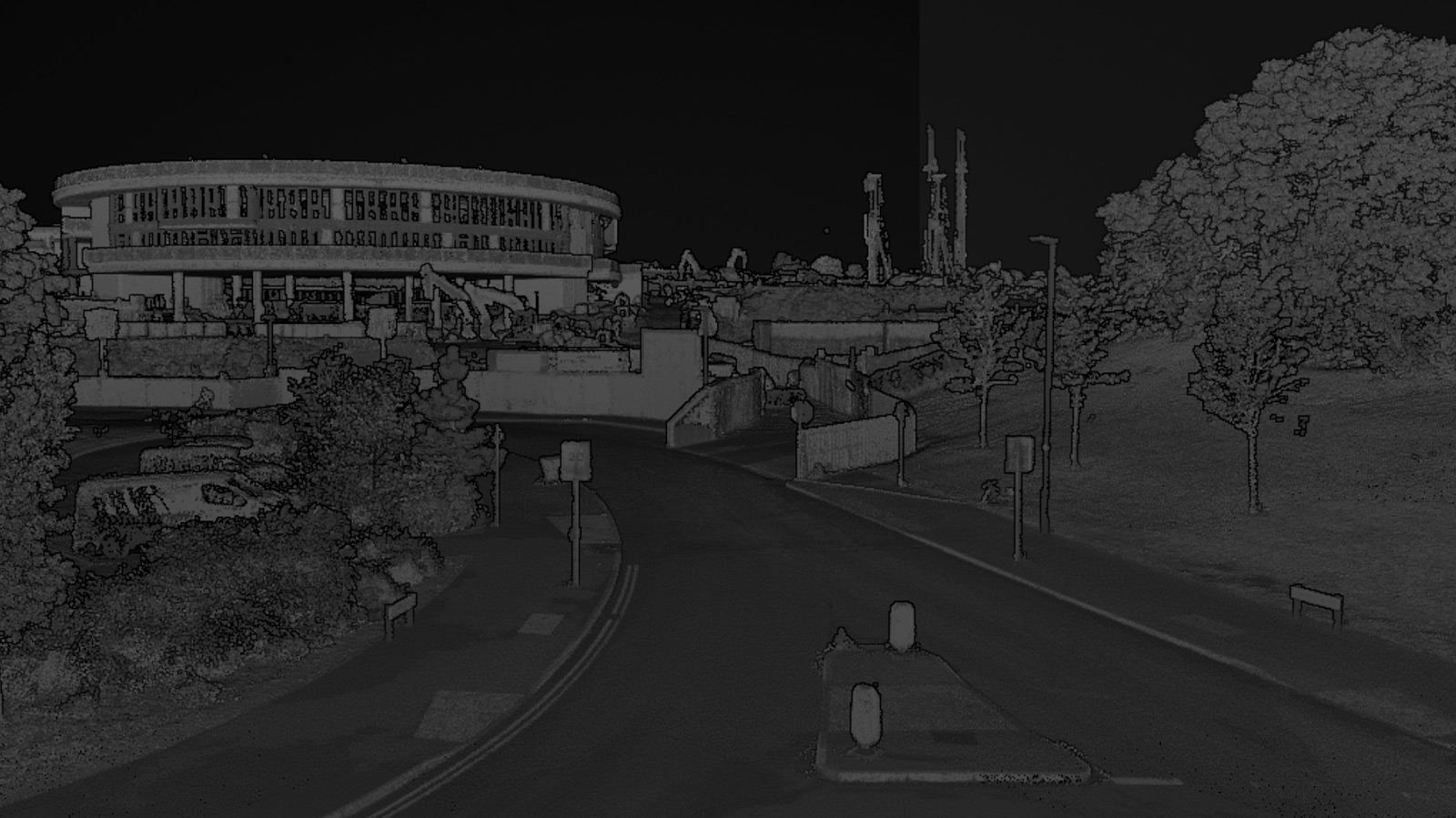
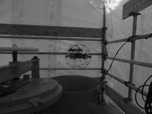
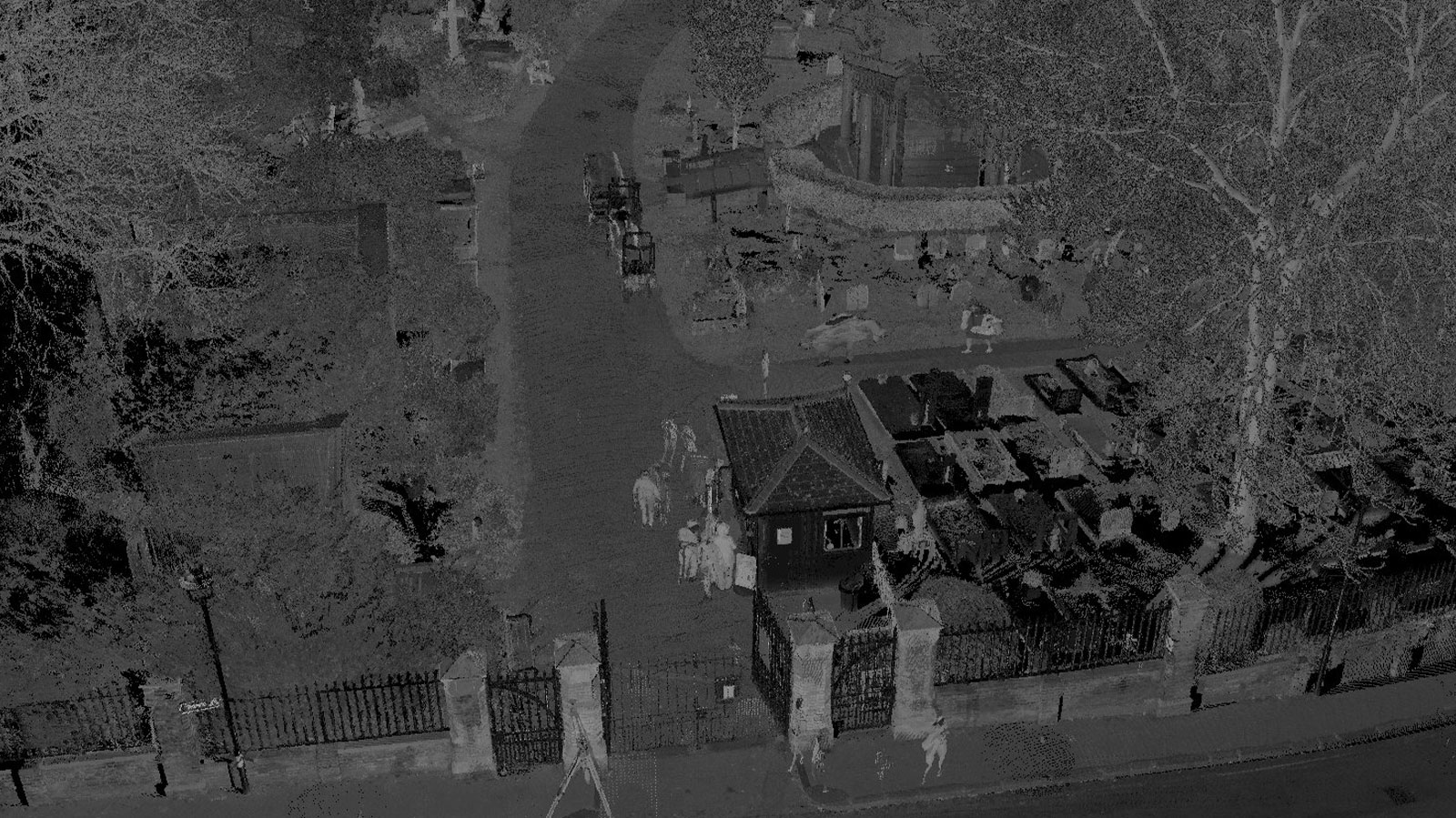
This means we can provide you with high quality, precision data across your whole site, whether you’re looking at coastal erosion, listed building repairs, offshore turbine or platform inspection, underground tunnel surveys and more. By building a set of survey techniques that work for your project, you can access relevant and useful data quickly and productively. Based in Essex but operate all over the UK.